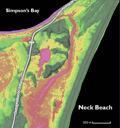
Matt Gunn has, since 2017, tracked erosion on the southern end of The Neck.
This very valuable resource is publicly available as Dismal Tides – his on-line data repository which features:
- views from fixed photo points showing vegetation loss
- analysis of historical aerial photos showing dune advance (1949 – 1996) and retreat (1996 to now)
- detailed escarpment retreat (2014 – 2024) and
- an animation of predicted sea level rise.
The latest photos show an almost complete erasure of remaining primary dune formations on the focus site. There is no longer any significant barrier to inland inundation by storm tide.
It is not uncommon to observe a 35-40 metre retreat of the dune escarpment over the last 9 years.
Matt expects these changes to intensify as climate change increases storm severity, storm surge and of course sea-level rise.


